Taranaki visitor guide: how the region fits together
Taranaki is easy to picture: a near-perfect volcanic cone standing on its own, a wide apron of farmland spreading out from it in every direction, and a coastline that bends around that apron from the port city of New Plymouth in the north to Pātea in the south. This page is our overview of the region for visitors, and a map of the rest of this site.
The lie of the land
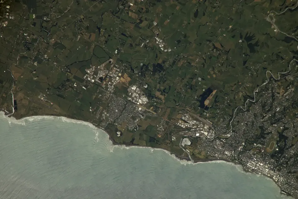
At the centre is Taranaki Maunga, 2,518 metres high, flanked by the smaller Fanthams Peak (Panitahi) on its southern side and by the eroded remains of two older volcanoes, the Pouakai and Kaitake ranges, to the north-west. The forest on the upper slopes is protected inside a national park whose boundary, drawn as a circle around the summit in the nineteenth century, is still obvious from the air: dark bush inside the ring, pasture outside it.
Below the bush line lies the ring plain, a gently sloping surface built from volcanic debris and now one of New Zealand's most productive dairy districts. Streams run straight down from the mountain to the sea like the spokes of a wheel, and most of the region's roads follow the same pattern or circle the mountain at a constant distance.
Taranaki is home to roughly 125,000 people. More than half live in the New Plymouth district; the other centres are Stratford on the eastern side of the mountain and Hāwera in South Taranaki, with many small towns along the coast and the inland roads.
Where to go
- The mountain and the national parkEntry roads, short walks, the Pouakai Crossing and what the summit climb really involves.
- Surf Highway 45The coast road from New Plymouth to Hāwera: surf breaks, Cape Egmont, Parihaka and Ōpunake.
- New Plymouth Coastal WalkwayThirteen kilometres of shared path along the city's seafront, with the Wind Wand and Te Rewa Rewa Bridge.
- Pukekura Park and the gardensThe city's historic park, the Bowl of Brooklands, the summer lights and the region's public gardens.
- Len Lye CentreThe gallery devoted to New Zealand's pioneer of kinetic sculpture and experimental film.
- Where to stayChoosing a base: New Plymouth, the coast, the ring-plain towns or a hut on the mountain.
New Plymouth
New Plymouth (Ngāmotu) is the regional city and where most visitors arrive. Its centre faces the sea rather than turning away from it: the Coastal Walkway runs right along the waterfront, the museum and library complex of Puke Ariki sits beside it, and the Govett-Brewster Art Gallery and Len Lye Centre are a block inland. Pukekura Park, a short walk from the shops, is one of the country's best-loved town parks. To the west, the port and the rocky Sugar Loaf Islands (Ngā Motu) mark the start of the surf coast.
Stratford, Hāwera and the inland towns
Stratford, on the eastern side of the mountain, was named after Shakespeare's birthplace and many of its streets carry the names of his characters; its clock tower performs a short glockenspiel show several times a day. From Stratford the road up to the Stratford Plateau gives the highest road access on the mountain. Further east, State Highway 43, the Forgotten World Highway, leaves Stratford for Taumarunui on a slow, winding route through remote hill country, saddles and a narrow single-lane tunnel; allow most of a day and fill the tank first.
Hāwera is the main town of South Taranaki, known for its tall early-twentieth-century water tower and as the base for Tawhiti Museum, a private museum famous for its detailed scale models of regional history. Eltham, Kaponga and Manaia are small farming towns on the southern ring plain; Hollard Gardens near Kaponga is one of the region's three public gardens.
When to come
Taranaki's climate is mild and moist, with westerly weather arriving straight off the Tasman Sea. Summer (December to March) brings the longest days, the best chance of a settled spell for mountain walks and the busiest events calendar, including the summer lights in Pukekura Park. Late October and early November is garden season, when the region's rhododendrons are in flower and the garden festival opens private gardens to visitors. Winter brings snow to the upper mountain and big swells to the coast, which suits surfers more than walkers. In every season, the mountain makes its own weather: cloud can cover the summit for days and clear within an hour.
Getting there and around
New Plymouth Airport, a short drive north-east of the city, has scheduled flights to Auckland, Wellington and Christchurch. By road, New Plymouth is roughly four and a half to five hours from Auckland on State Highway 3, and a similar time from Wellington via Whanganui. Public transport within the region is limited, so most visitors drive: a full loop around the mountain on State Highways 3 and 45 is about 180 kilometres. Drive times on our pages are approximate; check current road conditions with the New Zealand Transport Agency before long journeys.
If you followed an old link
This domain once hosted a different Taranaki tourism website, with which Ring Plain Journal has no connection. If an old bookmark or link brought you here, this page and the articles listed above are our independent guide to the same region. See about this domain for details.
Sources
- Department of Conservation, Egmont National Park / Te Papa-Kura-o-Taranaki visitor information: doc.govt.nz.
- Te Ara, the Encyclopedia of New Zealand, "Taranaki region": teara.govt.nz.
- Stats NZ, 2023 Census population counts by region.
- New Zealand Transport Agency Waka Kotahi, journey planner and State Highway information: journeys.nzta.govt.nz.
- NASA Earth Observatory, image ISS016-E-24479, Gateway to Astronaut Photography of Earth.